
Published Mon 24th Nov 2025
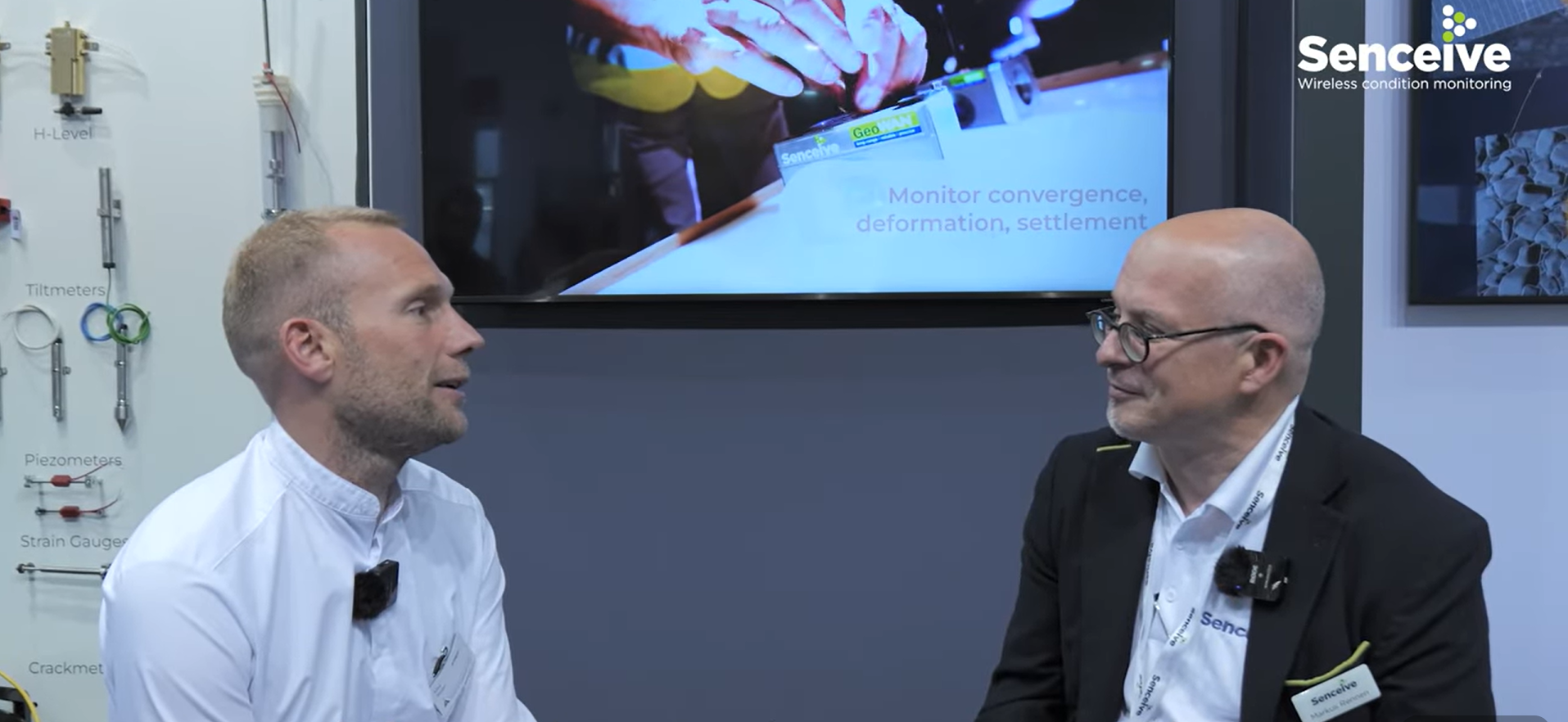
Our Head of Sales EMEA, Markus Rennen, recently caught up with Max Weller, Managing Director at our long-standing partner Josef Attenberger GmbH, to reflect on the evolution of their partnership and the role of wireless monitoring in modern surveying.
From Small Beginnings to Major Projects
Max recalls their first joint project back in 2020 at Gerling secondary school - a half-demolished site where Senceive wireless sensors were installed on structural pillars. “Those were small projects at the time,” Markus adds, “but now we’re working on much larger, complex deployments.”
Over time, Attenberger has built a steady client base. “Customer response is very positive,” Max explains. “Our systems run reliably, and there’s always someone to contact if needed. Fortunately, alarms are rare - things move less often than feared.”
Complementing, Not Replacing, Traditional Surveying
A key theme of the discussion was how wireless sensor technology complements classical surveying methods. While some surveyors initially feared that sensors might replace their work, Max emphasises that this is far from the case:
“It’s simply an incredibly important tool I can add to my portfolio. You still need surveying engineers to manage and interpret the systems. Sensors don’t replace expertise, they enhance it.”
Markus agrees, noting that Senceive technology simplifies the measurement of complex data while working seamlessly alongside reflective markers, prisms, and other traditional methods.
Supporting Infrastructure Projects Across Germany
The conversation also highlighted the growing scale of projects. From small deployments with just a few sensors to larger programs with hundreds of devices, wireless monitoring is increasingly essential for maintaining critical infrastructure.
“Everyone knows about the state of infrastructure in Germany. Larger projects are inevitable,” Max explains. “It makes us proud to contribute to monitoring at this scale.”
One notable example is their ongoing collaboration with Deutsche Bahn, which integrates inclination sensors, laser distance sensors, soil moisture sensors, and the new CameraHubs. This approach combines multiple measurement methods in a single interface for all project participants, providing continuous, real-time data that supports better decision-making.
Efficiency Through Easy Installation
Markus and Max also emphasised the simplicity of modern wireless sensor deployment. From railway tracks to tunnels, systems can be installed quickly without significant disruption. “I remember the installations in Hamburg on the ICE (InterCity Express) line. It was easy to install the whole track system in a very short time because wiring was not required,” Max recalls.
Looking Ahead
The introduction of the CameraHub marks the next step in monitoring evolution, adding visual data to traditional sensor outputs. This innovation further aligns systems with customer needs, enhancing situational awareness and project management.
“Wireless monitoring isn’t replacing surveying. It’s becoming an essential complement, delivering continuous, real-time data for today’s complex infrastructure projects,” Markus concludes.
The Takeaway
What started as small projects has grown into large-scale, multi-sensor deployments across Germany. Surveyors now increasingly integrate wireless monitoring with traditional geodetic methods, gaining continuous insight that supports more efficient, reliable decision-making.
For Josef Attenberger GmbH and Senceive, the partnership demonstrates how collaboration and innovation can transform the surveying landscape, making infrastructure monitoring smarter, safer, and more efficient.
Click here to watch the full conversation