






Wireless Rail Track Monitoring at Gröbers Railway Junction
Challenge
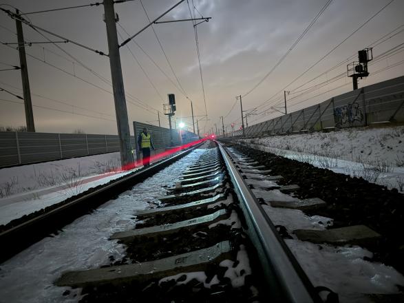
Gröbers railway junction in Germany lies above the former Clara Verein lignite mine, where underground mining took place at a depth of approximately 30 m between 1852 and 1928. Over time, the timber supports in the abandoned mine workings have deteriorated, creating a risk of ground settlement and sinkhole formation.
To protect the railway infrastructure and passengers, a geogrid-reinforced ground structure and a dedicated sinkhole detection system were installed above the former mining area between 2000 and 2002. However, the electronic components embedded in the ground began to age, requiring increasingly intensive maintenance.
Replacing the original system with another installation requiring extensive excavation was impractical. Deutsche Bahn InfraGO AG therefore sought a reliable, long-term monitoring solution that could detect potential settlement through changes in track geometry, without major intervention in the underlying ground.
The challenge was to establish comprehensive monitoring across eight tracks, providing early warning of potential ground deformation while minimising disruption to railway operations.
Solution
Following a public tender, ALLSAT GmbH was commissioned to implement a replacement sinkhole detection system using Senceive's wireless inclination monitoring technology.
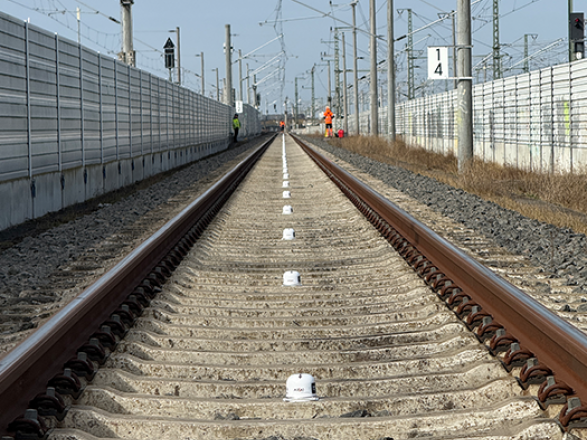
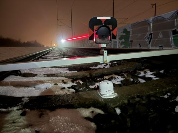
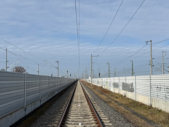
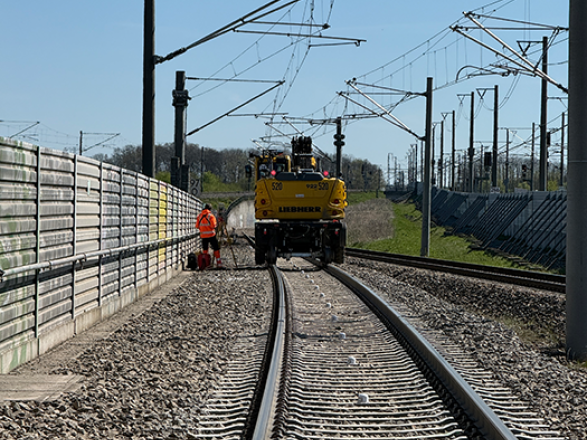
A total of 1,026 wireless Triaxial Tilt Sensors were installed directly onto railway sleepers at approximately 6 m intervals, covering around 6 km of track and monitoring an area of approximately 7 hectares.
The sensors measure changes in longitudinal and transverse inclination with a resolution of 0.0001°. An integrated temperature sensor supports the understanding of the correlation of temperature-related effects on track measurements.
Rather than measuring vertical displacement directly, the system uses changes in longitudinal inclination to derive relative vertical displacement. By analysing three adjacent sensors, the relative vertical position of the middle sensor can be calculated against the two outer sensors, helping identify the characteristic deformation profile of a developing settlement depression.
Senceive's FlatMesh wireless communication platform transmits measurement data from the sensor nodes to 16 wireless gateways. The gateway locations and network configuration were carefully planned to accommodate the dense sensor deployment and signal obstructions caused by trackside noise barriers.
Solar-powered gateways and battery-powered sensors enable autonomous operation, with the sensors designed for a battery life of up to 12 years. Measurements are taken at 60-minute intervals and transmitted to Senceive's WebMonitor platform, where authorised users can view data through an overview map and time-series plots.
Automatic alerts notify users when the 7 mm permitted settlement threshold is exceeded or when expected measurement data is missing.
Outcome
The new system provides a cost-effective, autonomous monitoring solution across the Gröbers railway junction, replacing the ageing installation without requiring extensive excavation of the underlying ground.
With more than 1,000 sensors distributed across approximately 6 km of track, the system enables changes in track inclination to be analysed across the monitored area, supporting the early detection of potential settlement depressions associated with historic mining.
Wireless data transmission, centralised visualisation and automated alerts give authorised users ongoing access to measurement data and notification of potential issues, without the need for optical line of sight between monitoring points.
The system is designed to provide long-term monitoring of ground settlement risk, supporting infrastructure management and the safe operation of this important railway junction.
Explore more about this project
Discover how Senceive's wireless sensors, FlatMesh communications and track geometry calculations work together.
Created on: Fri 2nd Oct 2026

Key Points
- 1,026 Triaxial Tilt sensors monitor approximately 6 km of railway track for potential settlement linked to historic mining.
- FlatMesh communications platform relay sensor data to LTE gateways, and onto Senceive’s WebMonitor platform for visualisation and automated alerts.
- Long-term risk management enables early detection of potential settlement depressions without extensive excavation or optical line of sight.